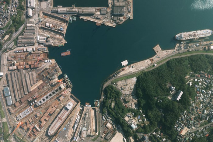

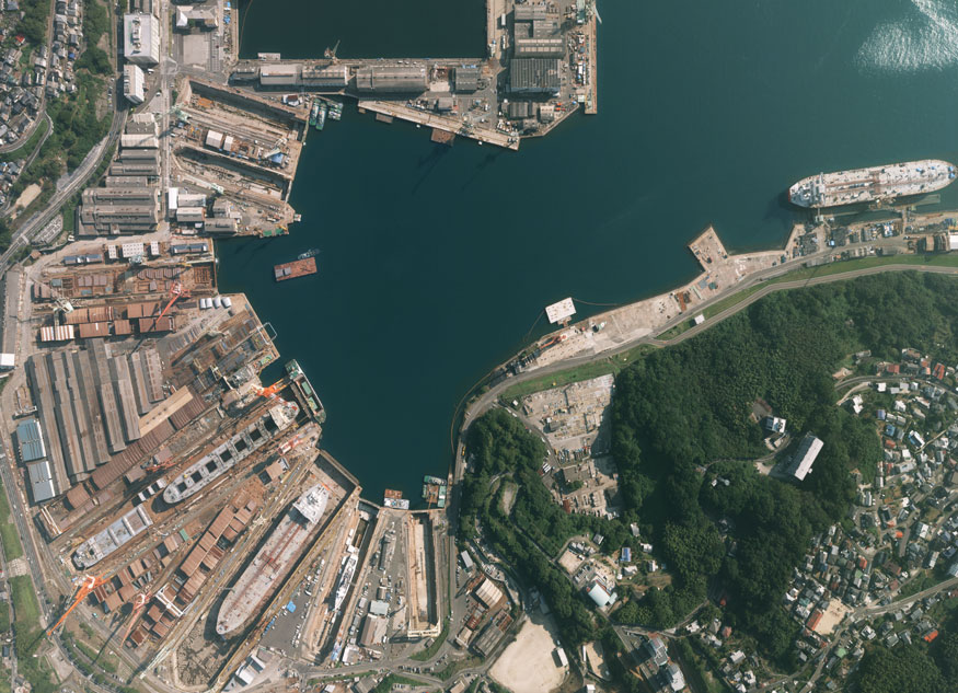
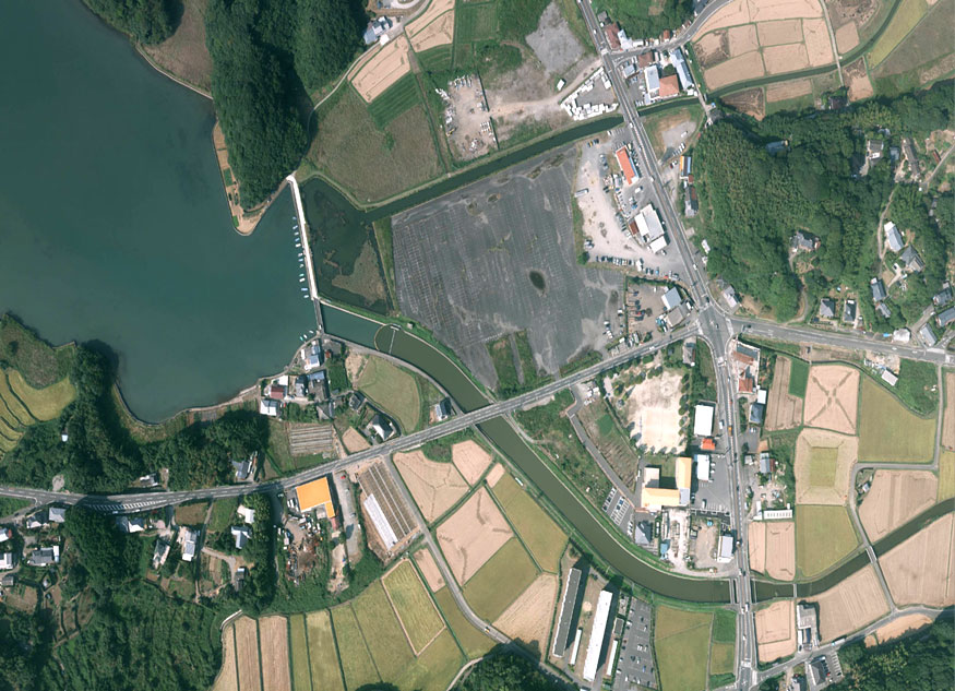
Towill performs more than 100 aerial photogrammetric mapping projects each year, ranging from large-scale (1:200 or 1:500) mapping used for engineering design projects to small-scale mapping (1:2,500 or 1:10,000) for planning, facilities management, and environmental restoration projects. High-quality aerial photography is the foundation for most photogrammetric maps, which produce the orthophotos and base maps used in many GIS applications. At altitudes from 500 feet to 30,000 feet, we can create maps to scale using natural-color, black-and-white, and color-infrared photography precisely georeferenced with GPS and inertial measurement technologies. Based on Towill’s years of experience delivering large-scale and small-scale maps, we have developed feature compilation (data digitizing) techniques that consistently meet or exceed all requirements for detail and accuracy. Over the last 20 years, Towill has used softcopy photogrammetry workstations to extract planimetric and topographic data from aerial imagery.
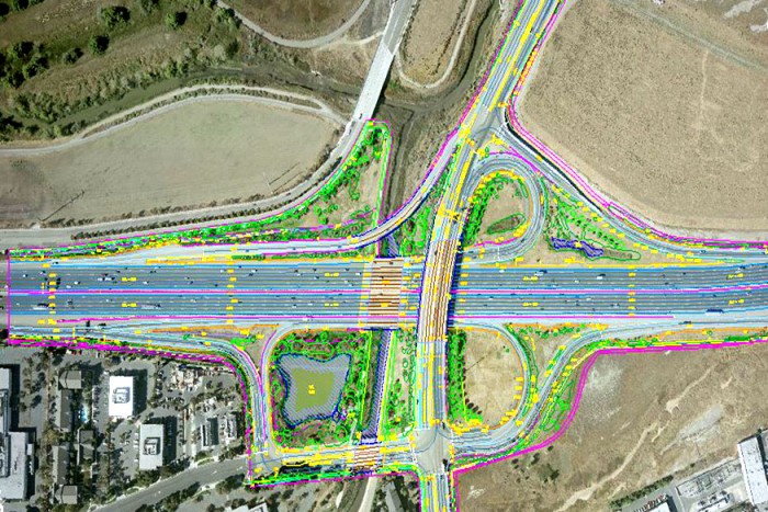
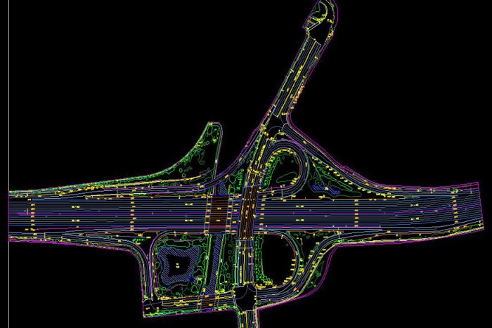
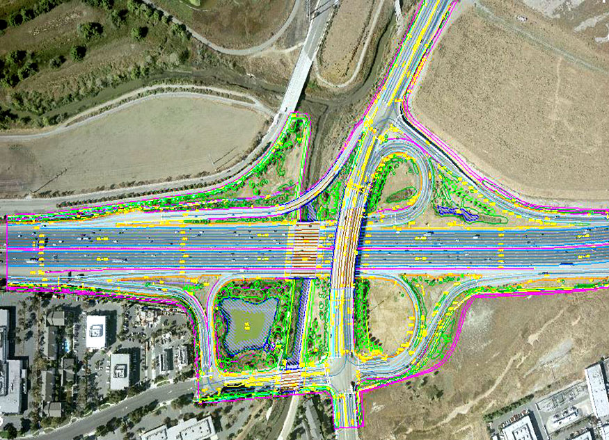
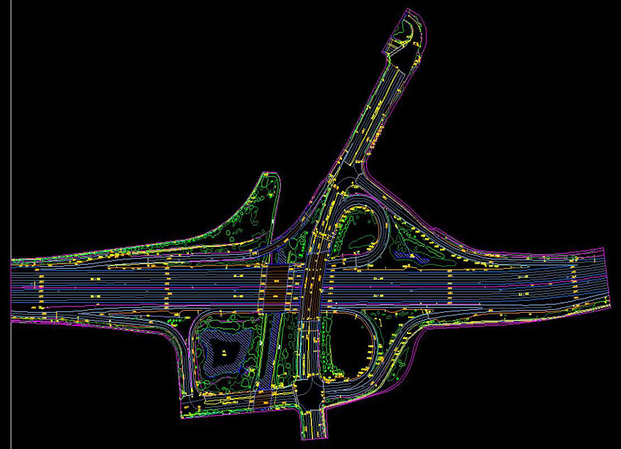
Towill’s professional photogrammetrists deliver high-quality topographic and planimetric mapping data woven from multiple airborne cameras and sensors, such as LiDAR (Light Detection and Ranging). We use efficient 2D and 3D geometric construction techniques to compile planimetric map features. Topographic data digitizing techniques are designed to ensure that breaklines and spot elevations (including mass points) are collected at appropriate densities for any particular map scale and contour interval combination. We use techniques that allow us to collect terrain data cost-effectively, since we only compile points necessary to accurately model the terrain.