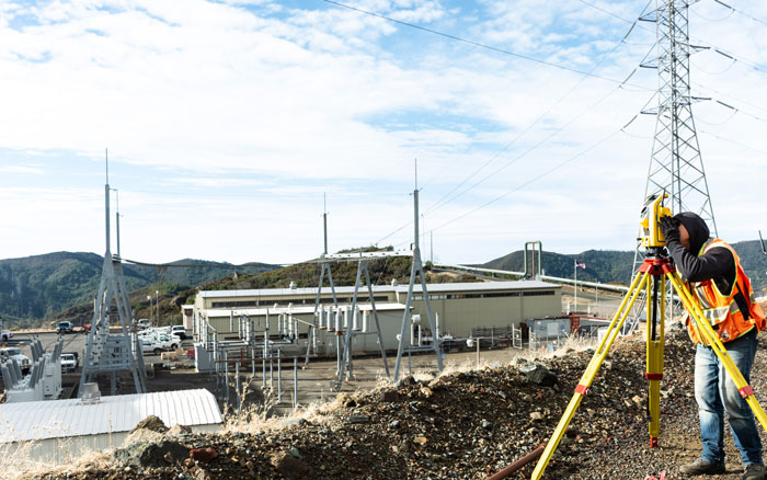
Towill has a strong working background providing surveying and mapping services to the energy industry for over 30 years. This continuous experience has involved NERC Compliance surveys, mapping new power line routes, substations, and coal piles for volumes and other facilities, as well as surveying and mapping for routing, design, and construction of new overhead and underground facilities. Our long-term experience benefits owners, and their design, right of way acquisition, and construction teams in the form of faster response, lower costs, and decreased need for stringent oversight by client project management staff.
| |
- 3D digital terrain models
- Access road easement creation
- Aerial orthophotography
- Aerial mapping
- Airborne HD video creation
- Airborne LiDAR
- Bathymetric (hydrographic) surveys
- Boundary surveys and cadastral mapping
- Catenary surveys
- Construction support
- Corridor mapping
- Danger tree mapping
- Detailed topographic field surveys
- Eminent domain exhibits
- Encroachment enforcement
- ESRI deliverables
|
|
- GIS development and data integration
- Inline inspection mapping
- Parcel acquisition legal descriptions and plats
- Plant improvements
- PLS-CADD deliverables
- Primary geodetic survey control
- Reconductoring surveys
- Right of way engineering support
- Secondary and photo survey control
- Substation upgrades
- Survey methodology and procedures consultation
- Terrestrial LiDAR
- Tower map books
- Utility location and identification
- Utility pothole coordination
|
|

