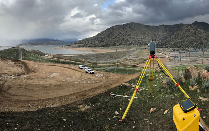
Over the last several decades, Towill has provided surveying, mapping, and geospatial solutions for a critical component to today’s water infrastructure system–dams. Specific to dam structures, Towill’s services have been utilized on dam foundations, crest elevations, tunnels and pipelines, and ancillary dam features, such as roadways, buildings, spillways, and boat ramps. Our work has included not just dams, but a multitude of other water storage and transmission facilities throughout California including reservoirs, watersheds, canals, aqueducts, intake and outlet structures, and other facilities such as fish screens.
| |
- 3D digital terrain models
- 3D topographic and bathymetric models
- Aerial orthophotography
- Aerial mapping
- Airborne LiDAR
- Bathymetric (hydrographic) surveys
- Boundary surveys and cadastral mapping
- Capacity curve calculations
- Construction support
- Corridor mapping
- Deformation monitoring surveys
- Detailed topographic field surveys
- Eminent domain exhibits
- Encroachment enforcement
- ESRI deliverables
- Facilities mapping
- GIS development and data integration
- Master planning survey support
|
|
- Parcel acquisition legal descriptions and plats
- Penstock monitoring and improvements
- Pipeline layout and as-builts
- Plant improvements
- Post construction settlement monitoring
- Primary geodetic survey control
- Right of way and appraisal mapping
- Right of way engineering support
- Secondary and photo survey control
- Sedimentation studies
- Structure as-built and conform surveys
- Survey methodology and procedures consultation
- Terrestrial LiDAR
- Tunnel and intake pump house improvements
- Utility location and identification
- Utility pothole coordination
- Water transmission, storage, and treatment mapping
|
|

