Leaving Our Mark on the Industry
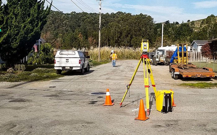
Towill’s goal is to leave our mark on the industry through innovative and quality service. Our survey team is comprised of industry leaders who can offer our clients expertise in large scale geodetic control, industrial metrology, automated subsidence monitoring, utility, boundary and right of way engineering, detailed topographic and construction layout surveys. Our licensed surveyors are capable of supporting any type of project including heavy construction, bridges, tunnels, highways and railways, dams, energy and water storage, transmission and distribution, plant and processing facilities, and environmental mapping and remediation.
Towill’s commitment to being an industry leader begins with our continuous investment in new technologies that give our clients the most accurate, cost-efficient, and timely services available. We also carefully choose our staff to make sure each has received formal training so they know how to properly use advanced technologies for collecting data, preparing maps, and performing calculations. We know that quality people are our greatest asset and we encourage innovative, progressive thinking as a path to better solutions.

