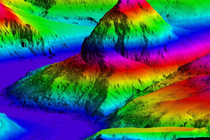
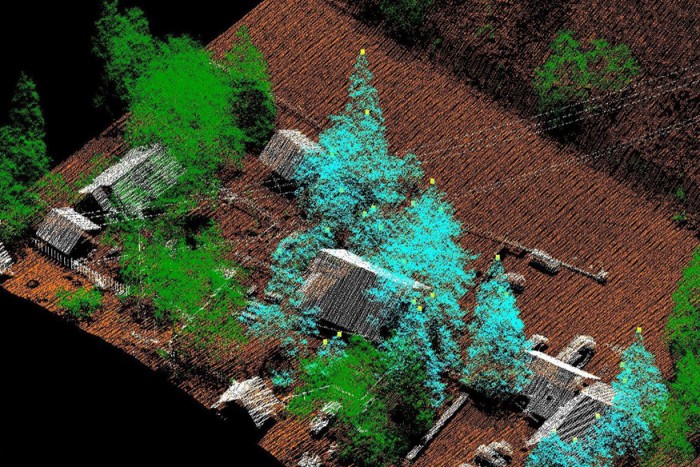
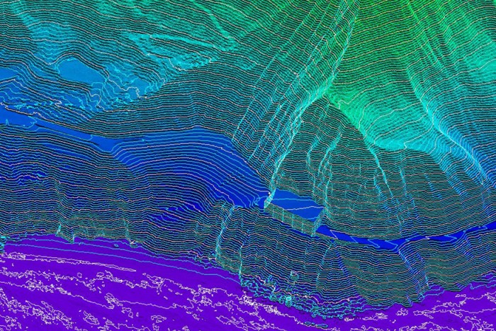
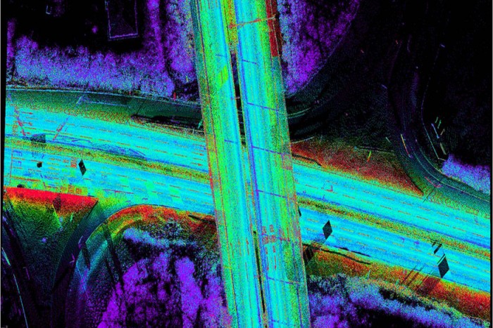
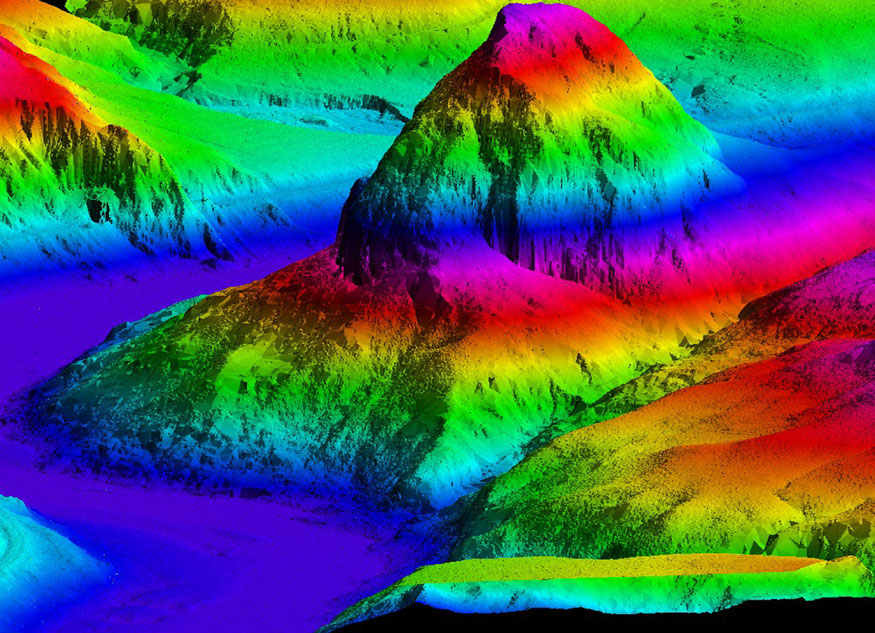
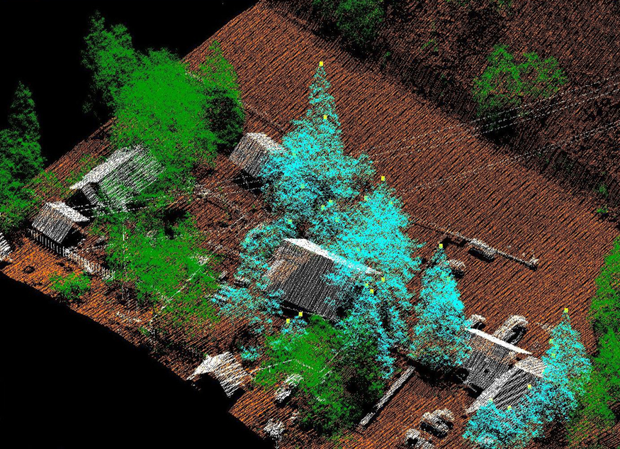
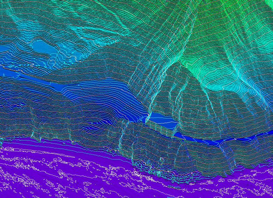
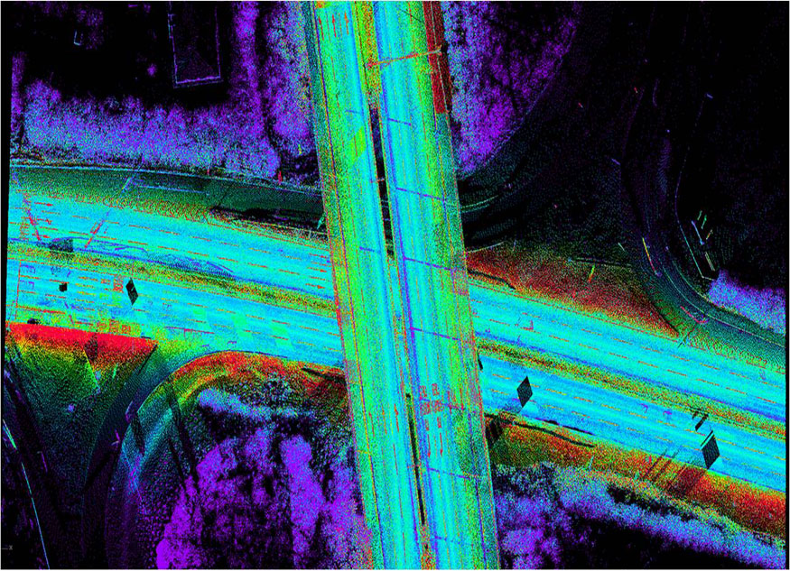
Light Detection and Ranging (LiDAR) is an optical remote-sensing technology that emits multiple pulses of light (laser) and measures the length of time each pulse takes to return to the sensor. This process generates a “point cloud” of highly accurate x,y,z measurements reflected from natural and man-made features such as bare earth, vegetation, roadways, and buildings. Towill, Inc. has been innovative in our ability to seamlessly integrate point cloud datasets from multiple LiDAR sensors such as airborne LiDAR systems, stationary scanning systems, and vehicle based or “mobile mapping” scanning systems. Applications include engineering design level topographic mapping, terrain modeling for floodplain management, electrical transmission utility as-builts, urban forestry, and many others. LiDAR technology, when well matched with project objectives, offers many benefits over traditional survey and mapping procedures, including reduced cost, higher detail, and compressed schedules.
Airborne LiDAR data, whether used alone or in combination with photogrammetry and/or 3D scanning, provides an incredibly detailed data model in a short amount of time and at lower cost than traditional methods for large projects.